ONLINE VACATION
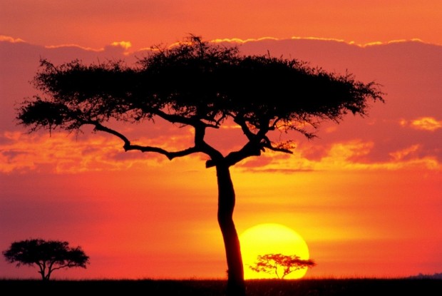
SAHARA DESERT, NORTH AFRICA
1/17/14
Hi Everyone. Our trip today is definitely something different. We are
going to North Africa to the Sahara Desert to see the area and some of
the animals that live there.
The Sahara is the world's hottest desert. At over 3,600,000 square
miles (9,400,000 square kilometers) it covers most of North Africa,
making it almost as large as China or the United States.
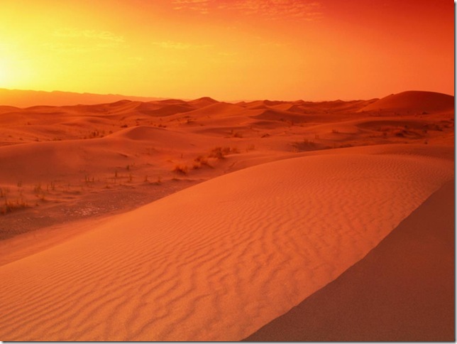
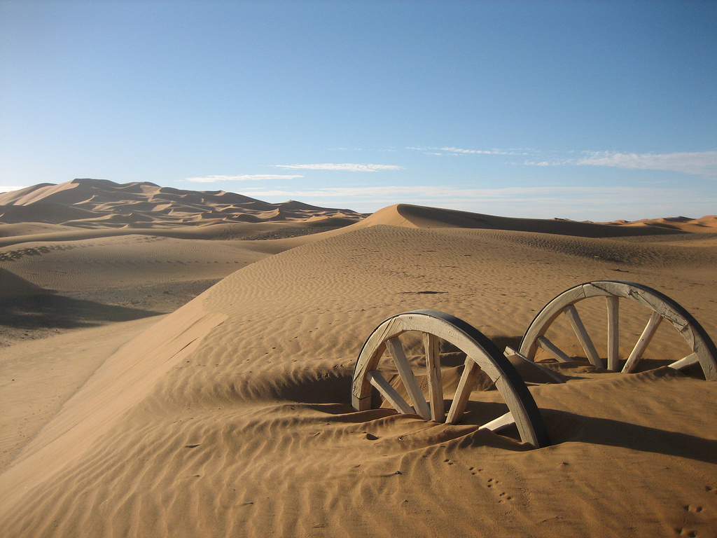
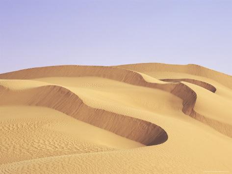
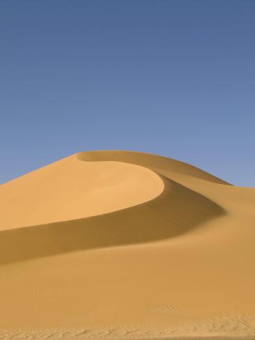
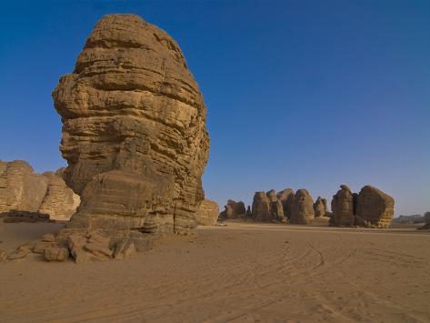
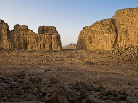
Some of the sand dunes can reach 590 feet (180 meters) in height. The
desert landforms of the Sahara are shaped by wind or by occasional
rains and include sand dunes and dune fields, stone plateaus, gravel
plains, dry valleys, and salt flats. Unusual landforms include the
Richat Structure in Mauritania.
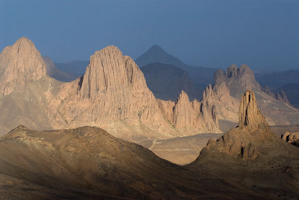
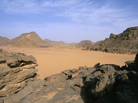
Several deeply dissected mountains and mountain ranges, many volcanic,
rise from the desert.
Most of the rivers and streams in the Sahara are seasonal or intermittent,
the chief exception being the Nile River, which crosses the desert
from its origins in central Africa to empty into the Mediterranean.
Underground aquifers sometimes reach the surface.
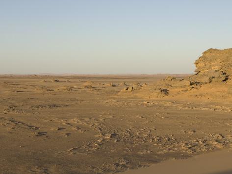
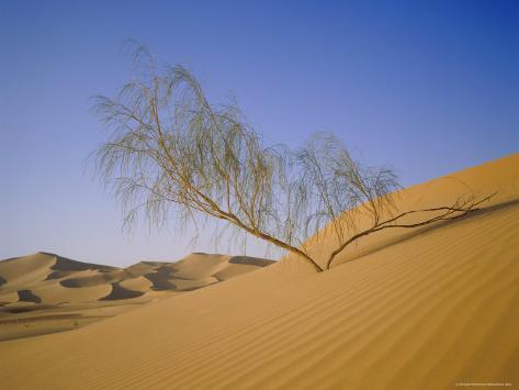
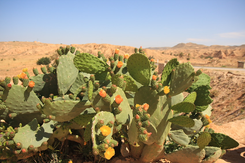
The central part of the Sahara is hyper-arid, with little vegetation.
The northern and southern reaches of the desert, along with the
highlands, have areas of sparse grassland and desert shrub, with trees
and taller shrubs in moisture collects.
The Sahara has one of the harshest climates in the world. The
north-easterly wind often cause sand storms and dust devils. When this
wind reaches the Mediterranean, it is known as sirocco and often
reaches hurricane speeds in North Africa and southern Europe. Half of
the Sahara receives less than 0.79 inches of rain per year, and the
rest receives up to 3.9 inches per year. The rainfall happens very
rarely, but when it does it is usually torrential when it occurs after
long dry periods. Recent signals indicate that the Sahara and
surrounding regions are greening because of increased rainfall.
Satellite imaging shows extensive greening of the southern area
between 1982 and 2002, and in both Eastern and Western Sahara a more
than 20-year-long trend of increased grazing areas and flourishing
trees and shrubs has been observed.
On February 18, 1979, snow fell in several places in southern Algeria,
including a half-hour snowstorm that stopped traffic in Ghardaďa, and
was reported as being "for the first time in living memory". The snow
was gone within hours. Several Saharan mountain ranges, however,
receive snow more regularly. Although relative humidity is low in the
arid environment, the absolute humidity is high enough for moisture to
condense when driven up a mountain range. In winter, temperatures drop
low enough on the Tahat summit to cause snow on average every three
years; the Tibesti Mountains receive snow on peaks over 8,200 feet
once every seven years on average. On January 18, 2012, snow fell in
several places in western Algeria. Strong winds blew the snow across
roads and buildings in Béchar Province.
The Sahara comprises several distinct ecoregions, and with their
variations in temperature, rainfall, elevation, and soil, they harbor
distinct communities of plants and animals.
I hope you enjoy this trip to the Sahara Desert.
~Marsha~
MAP

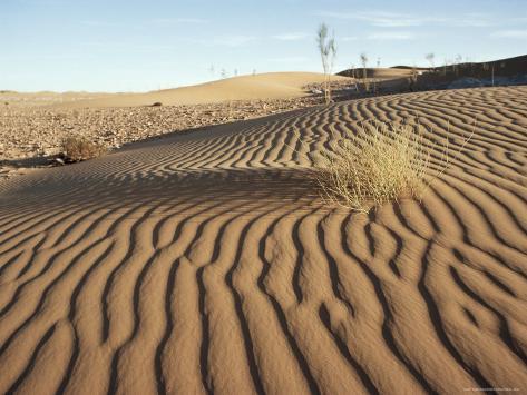
THE SAND


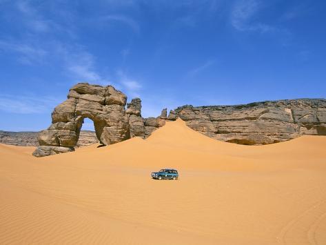
FEZZEN, LIBYA DESERT


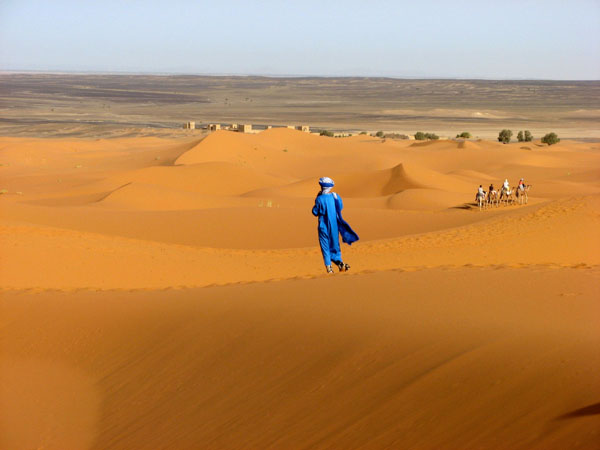
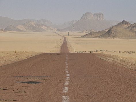
MORROCO DESERT


CHAD DESERT

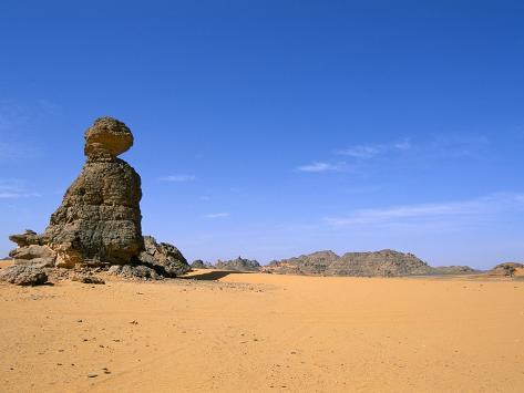
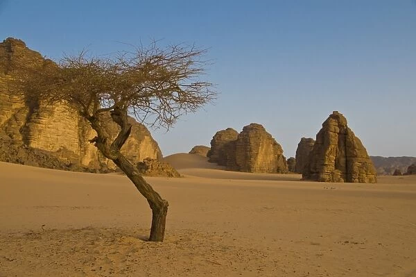
ALGERIA DESERT


ALGERIA, GETTING WATER FROM AN AQUAFER ?

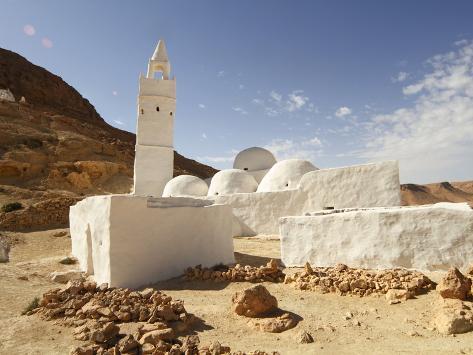
SLEEPERS MOSQUE, TUNISIA
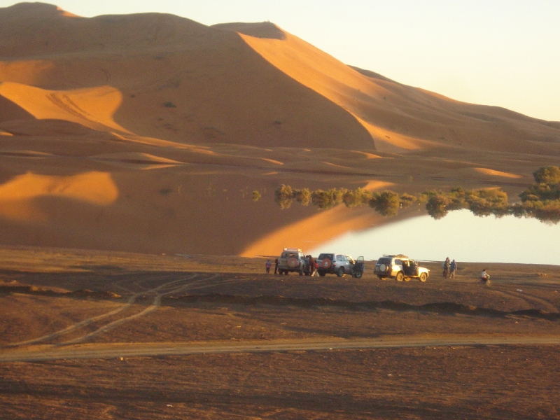
WATER


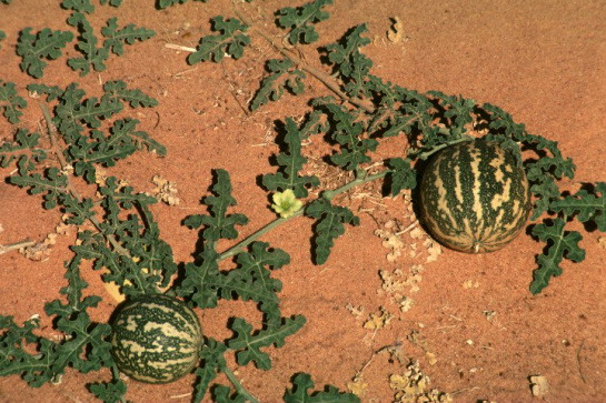
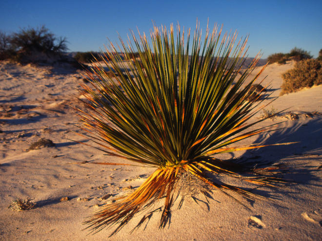
TREES, FLOWERS, GRASS


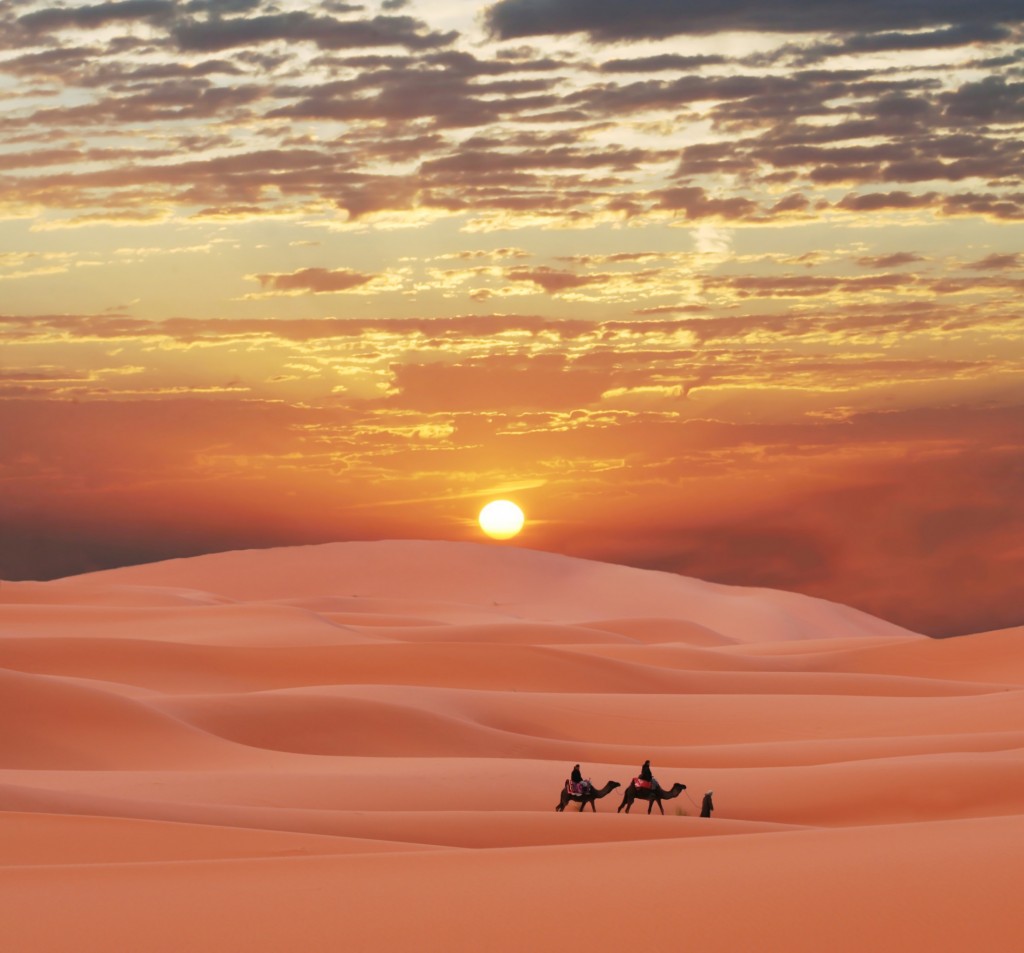
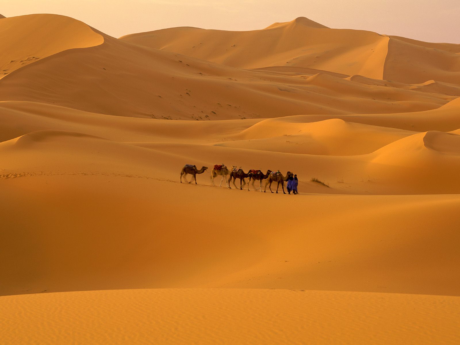
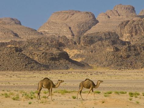
CAMELS
NOTICE THE DIFFERENT SHADE OF COLOR OF THE CAMELS
AND THE DIFFERENT WAYS THEY ARE RIDDEN


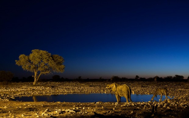
ELEPHANT


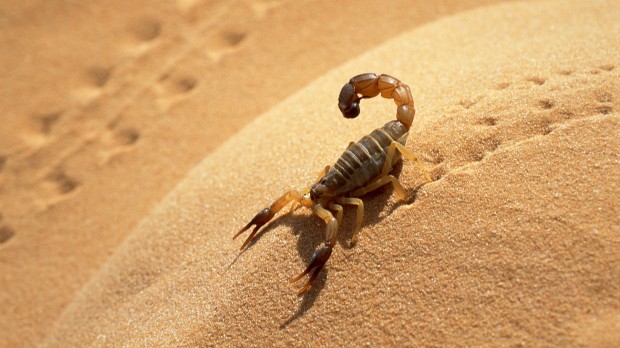
SCORPION

GERBIL MERIONES

GIRAFFES

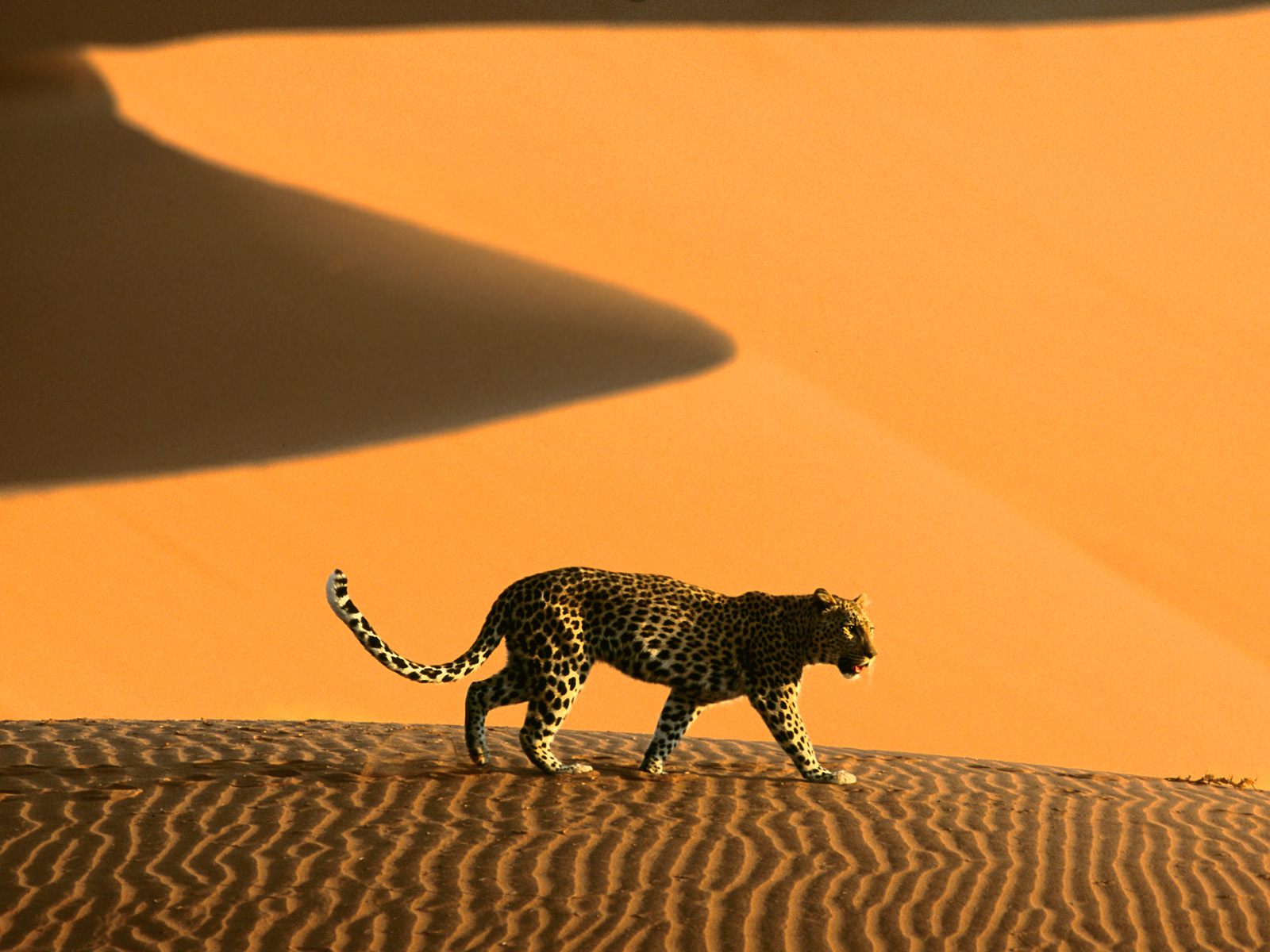
LEOPARD

OSTRICH


SAND DRAGON LIZARD

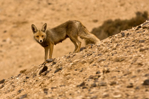
FENNEC FOX


HYENA


BROWN HYENA
AFRICAN CHEETAH

JERBOA


RED TAILED HAWK

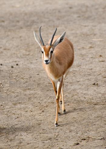
GAZELLE


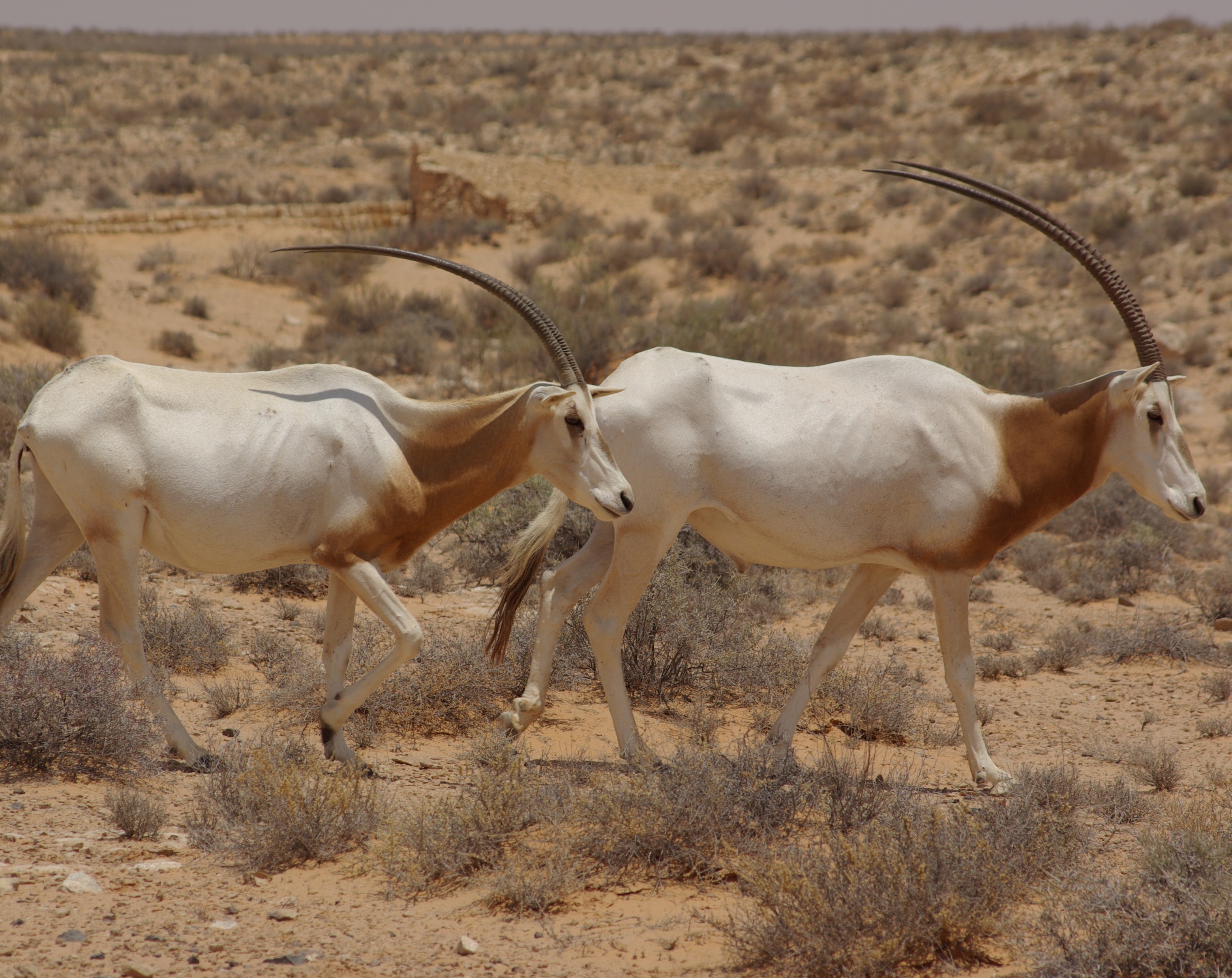
SCIMITAR HORNED ORYX
RHINOCEROS


BEETLE

MONITOR LIZARD

AFRICAN MEERKAT


THORNY DEVIL LIZARD

GOLDEN JACKAL
DESERT TORTOISE

OCELLATUS
.jpg)
DESERT GOATS

BARBARY SHEEP


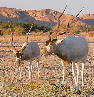
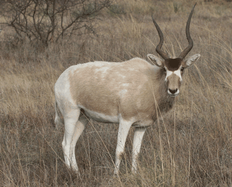
ADDAX
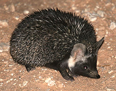
DESERT HEDGEHOG
IBEX

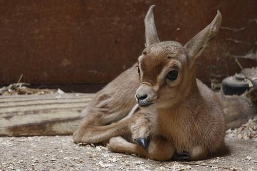
UNKNOWN ANIMAL


.jpg)


TO READ MORE ABOUT THE SAHARA DESERT, CLICK HERE
going to North Africa to the Sahara Desert to see the area and some of
the animals that live there.
The Sahara is the world's hottest desert. At over 3,600,000 square
miles (9,400,000 square kilometers) it covers most of North Africa,
making it almost as large as China or the United States.
Some of the sand dunes can reach 590 feet (180 meters) in height. The
desert landforms of the Sahara are shaped by wind or by occasional
rains and include sand dunes and dune fields, stone plateaus, gravel
plains, dry valleys, and salt flats. Unusual landforms include the
Richat Structure in Mauritania.
Several deeply dissected mountains and mountain ranges, many volcanic,
rise from the desert.
Most of the rivers and streams in the Sahara are seasonal or intermittent,
the chief exception being the Nile River, which crosses the desert
from its origins in central Africa to empty into the Mediterranean.
Underground aquifers sometimes reach the surface.
The central part of the Sahara is hyper-arid, with little vegetation.
The northern and southern reaches of the desert, along with the
highlands, have areas of sparse grassland and desert shrub, with trees
and taller shrubs in moisture collects.
The Sahara has one of the harshest climates in the world. The
north-easterly wind often cause sand storms and dust devils. When this
wind reaches the Mediterranean, it is known as sirocco and often
reaches hurricane speeds in North Africa and southern Europe. Half of
the Sahara receives less than 0.79 inches of rain per year, and the
rest receives up to 3.9 inches per year. The rainfall happens very
rarely, but when it does it is usually torrential when it occurs after
long dry periods. Recent signals indicate that the Sahara and
surrounding regions are greening because of increased rainfall.
Satellite imaging shows extensive greening of the southern area
between 1982 and 2002, and in both Eastern and Western Sahara a more
than 20-year-long trend of increased grazing areas and flourishing
trees and shrubs has been observed.
On February 18, 1979, snow fell in several places in southern Algeria,
including a half-hour snowstorm that stopped traffic in Ghardaďa, and
was reported as being "for the first time in living memory". The snow
was gone within hours. Several Saharan mountain ranges, however,
receive snow more regularly. Although relative humidity is low in the
arid environment, the absolute humidity is high enough for moisture to
condense when driven up a mountain range. In winter, temperatures drop
low enough on the Tahat summit to cause snow on average every three
years; the Tibesti Mountains receive snow on peaks over 8,200 feet
once every seven years on average. On January 18, 2012, snow fell in
several places in western Algeria. Strong winds blew the snow across
roads and buildings in Béchar Province.
The Sahara comprises several distinct ecoregions, and with their
variations in temperature, rainfall, elevation, and soil, they harbor
distinct communities of plants and animals.
I hope you enjoy this trip to the Sahara Desert.
~Marsha~
MAP
THE SAND
FEZZEN, LIBYA DESERT
MORROCO DESERT
CHAD DESERT
ALGERIA DESERT
ALGERIA, GETTING WATER FROM AN AQUAFER ?
SLEEPERS MOSQUE, TUNISIA
WATER
TREES, FLOWERS, GRASS
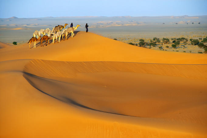
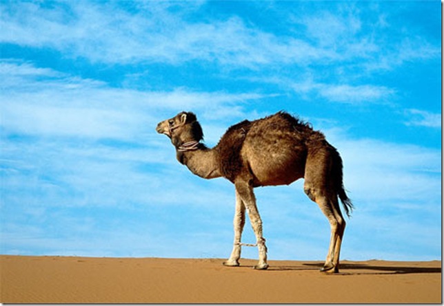
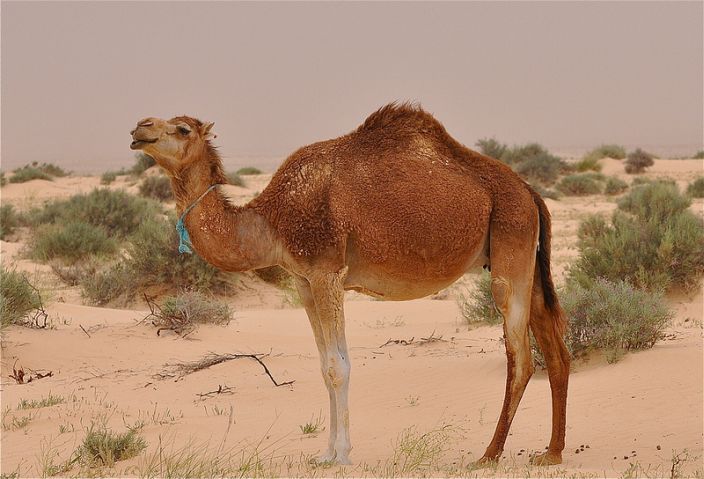
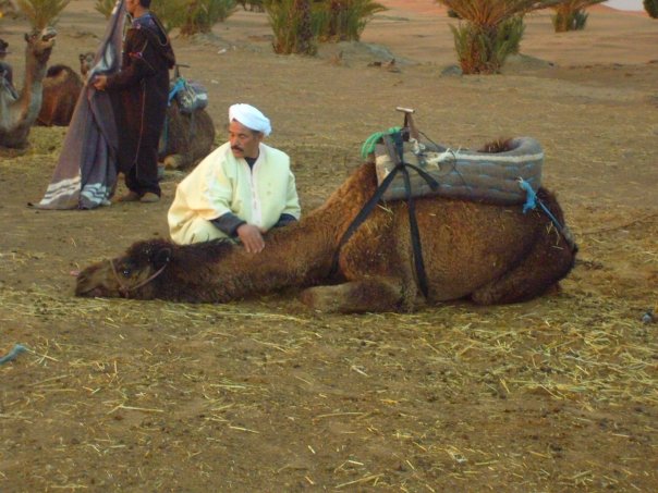
CAMELS
NOTICE THE DIFFERENT SHADE OF COLOR OF THE CAMELS
AND THE DIFFERENT WAYS THEY ARE RIDDEN
ELEPHANT
SCORPION
GERBIL MERIONES
GIRAFFES
LEOPARD
OSTRICH
SAND DRAGON LIZARD
FENNEC FOX
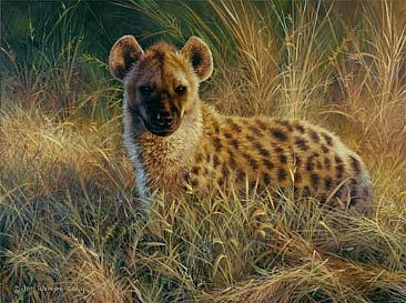
HYENA
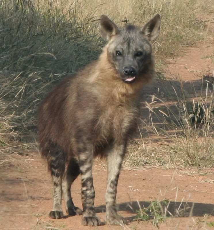
BROWN HYENA
AFRICAN CHEETAH
JERBOA
RED TAILED HAWK
GAZELLE
SCIMITAR HORNED ORYX
RHINOCEROS
BEETLE
MONITOR LIZARD
AFRICAN MEERKAT
THORNY DEVIL LIZARD
GOLDEN JACKAL
DESERT TORTOISE
OCELLATUS
DESERT GOATS
BARBARY SHEEP
ADDAX
DESERT HEDGEHOG
IBEX
UNKNOWN ANIMAL
TO READ MORE ABOUT THE SAHARA DESERT, CLICK HERE
Information from Wikipedia
This is a MelloMarsha creation
I do not take credit for the pictures
Thanks to the respective photographers
1-17-14
BACK TO THE ONLINE VACATION INDEX