ONLINE VACATION
JUNEAU, ALASKA, USA
1/01/14
Hi Everyone. Today's trip is to Juneau, Alaska, USA. This is a place
that was requested by one of my friends. I know it will be cold now,
since it is winter, but lets take a look around.
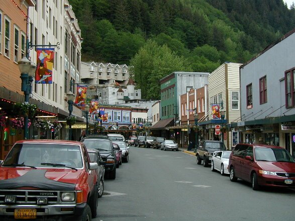
The City and Borough of Juneau is the capital city of Alaska. It is a
unified municipality located on the Gastineau Channel in the Alaskan
panhandle and is the 2nd largest city in the United States by area.
The area of Juneau is larger than that of Rhode Island and Delaware
individually and almost as large as the two states combined.
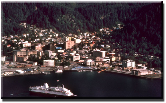
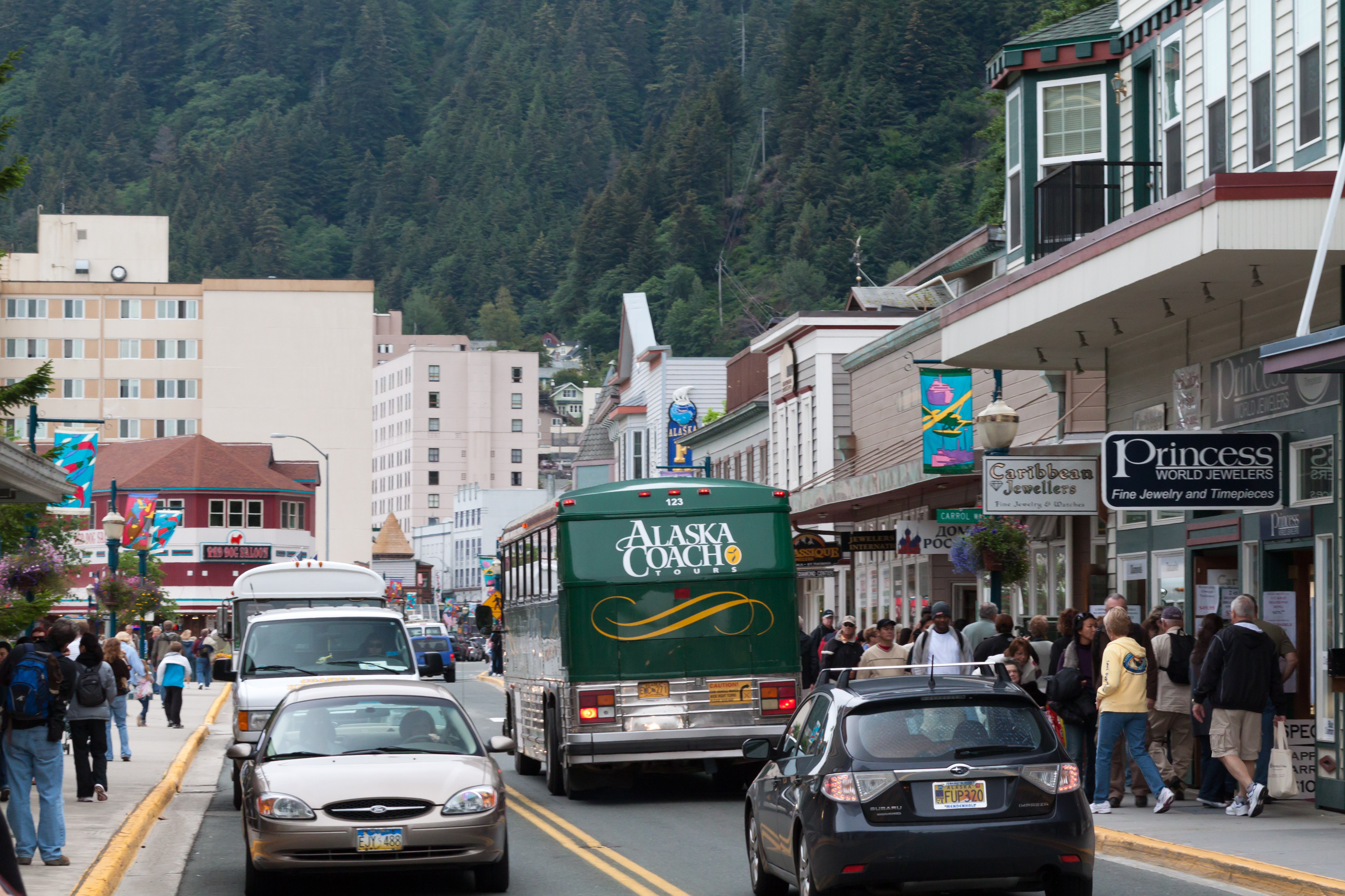
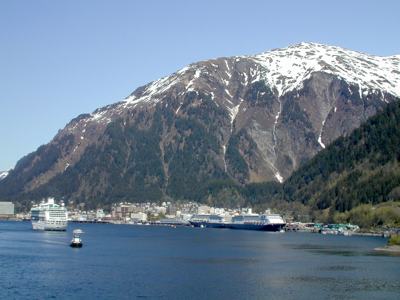
Downtown Juneau is nestled at the base of Mount Juneau and across the
channel from Douglas Island. As of the 2010 census, the City and
Borough had a population of 31,275.
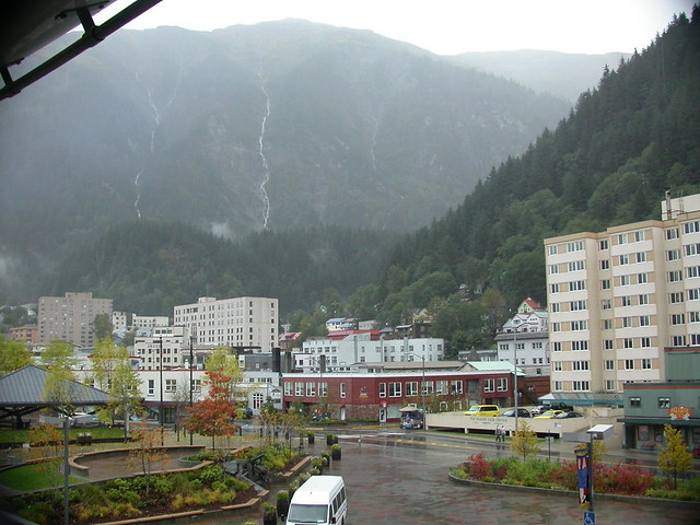
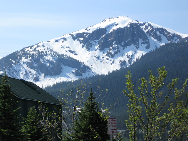
Downtown Juneau sits at sea level, with tides averaging 16 feet, below
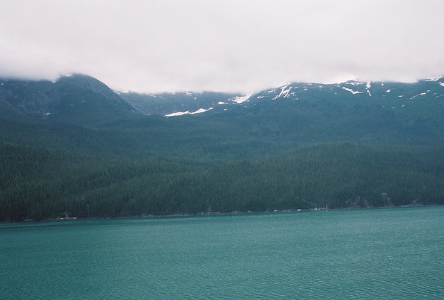
steep mountains about 4,000 feet high. Atop these mountains is the
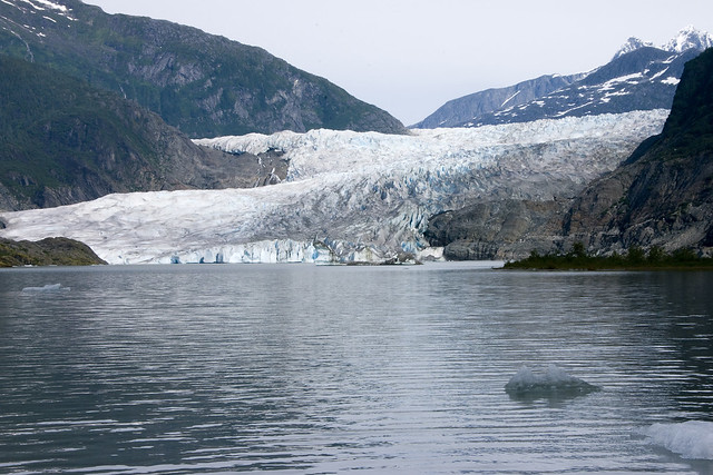
Juneau Icefield, a large ice mass from which about 30 glaciers flow.
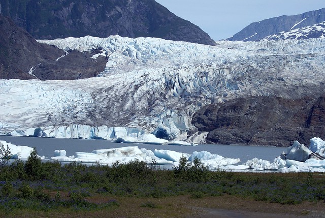
Two of these, the Mendenhall Glacier and the Lemon Creek Glacier, are
visible from the local road system.
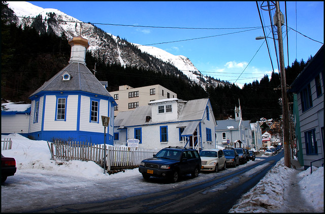
January is normally the coldest month with average temperatures between
18 and 29 degrees Fahrenheit. July is normally the warmest month
with average temperatures between 48 and 64 degrees F. October is
normally the rainiest month with an average of 7.7 inches, and a
yearly average of 55.2 inches of rain. January is normally the
snowiest month with an average of 26 inches, and a yearly average
of 99 inches of snow.
I hope you enjoy this trip to Juneau, Alaska.
~Marsha~
THE CITY




DOWNTOWN


" HEIGHT="500">







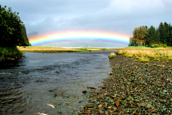
SCENERY









AIRPORT

ON THE WATER
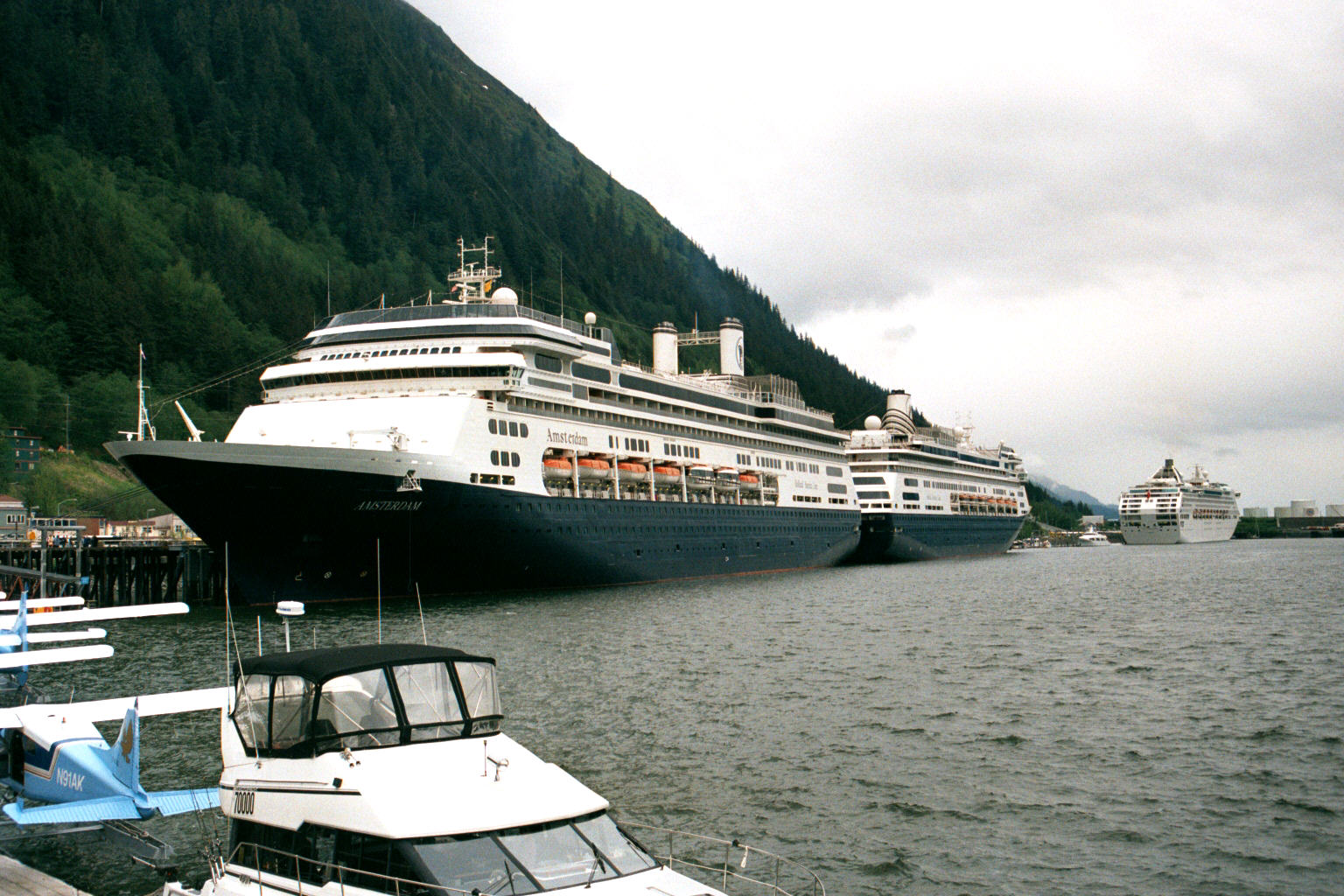


CARNIVAL SPIRIT AND SILVERSEA SLIVER SHADOW

MENDENHALL GLACIER AND LAKE




AUKE LAKE


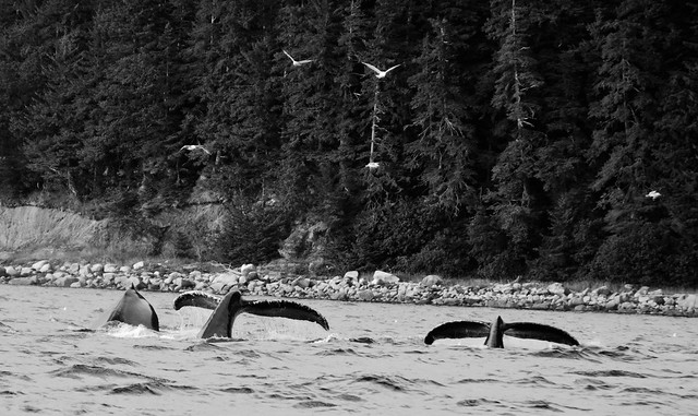
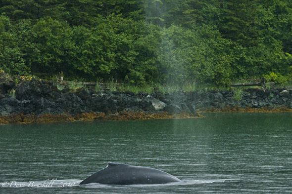
WHALES

WANT TO RIDE???


SEAPLANE LANDING

TO SEE MORE PHOTOS, GO HERE
that was requested by one of my friends. I know it will be cold now,
since it is winter, but lets take a look around.
The City and Borough of Juneau is the capital city of Alaska. It is a
unified municipality located on the Gastineau Channel in the Alaskan
panhandle and is the 2nd largest city in the United States by area.
The area of Juneau is larger than that of Rhode Island and Delaware
individually and almost as large as the two states combined.
Downtown Juneau is nestled at the base of Mount Juneau and across the
channel from Douglas Island. As of the 2010 census, the City and
Borough had a population of 31,275.
Downtown Juneau sits at sea level, with tides averaging 16 feet, below
steep mountains about 4,000 feet high. Atop these mountains is the
Juneau Icefield, a large ice mass from which about 30 glaciers flow.
Two of these, the Mendenhall Glacier and the Lemon Creek Glacier, are
visible from the local road system.
January is normally the coldest month with average temperatures between
18 and 29 degrees Fahrenheit. July is normally the warmest month
with average temperatures between 48 and 64 degrees F. October is
normally the rainiest month with an average of 7.7 inches, and a
yearly average of 55.2 inches of rain. January is normally the
snowiest month with an average of 26 inches, and a yearly average
of 99 inches of snow.
I hope you enjoy this trip to Juneau, Alaska.
~Marsha~
THE CITY


DOWNTOWN


" HEIGHT="500">


SCENERY


AIRPORT

ON THE WATER


CARNIVAL SPIRIT AND SILVERSEA SLIVER SHADOW

MENDENHALL GLACIER AND LAKE


AUKE LAKE


WHALES


WANT TO RIDE???


SEAPLANE LANDING

TO SEE MORE PHOTOS, GO HERE
Information from Wikipedia
This is a MelloMarsha creation
I do not take credit for the pictures
Thanks to the respective photographers
12-31-13
BACK TO THE ONLINE VACATION INDEX